Ganaur Draft Existing Land Use Plan PDF Map Sonipat 2041
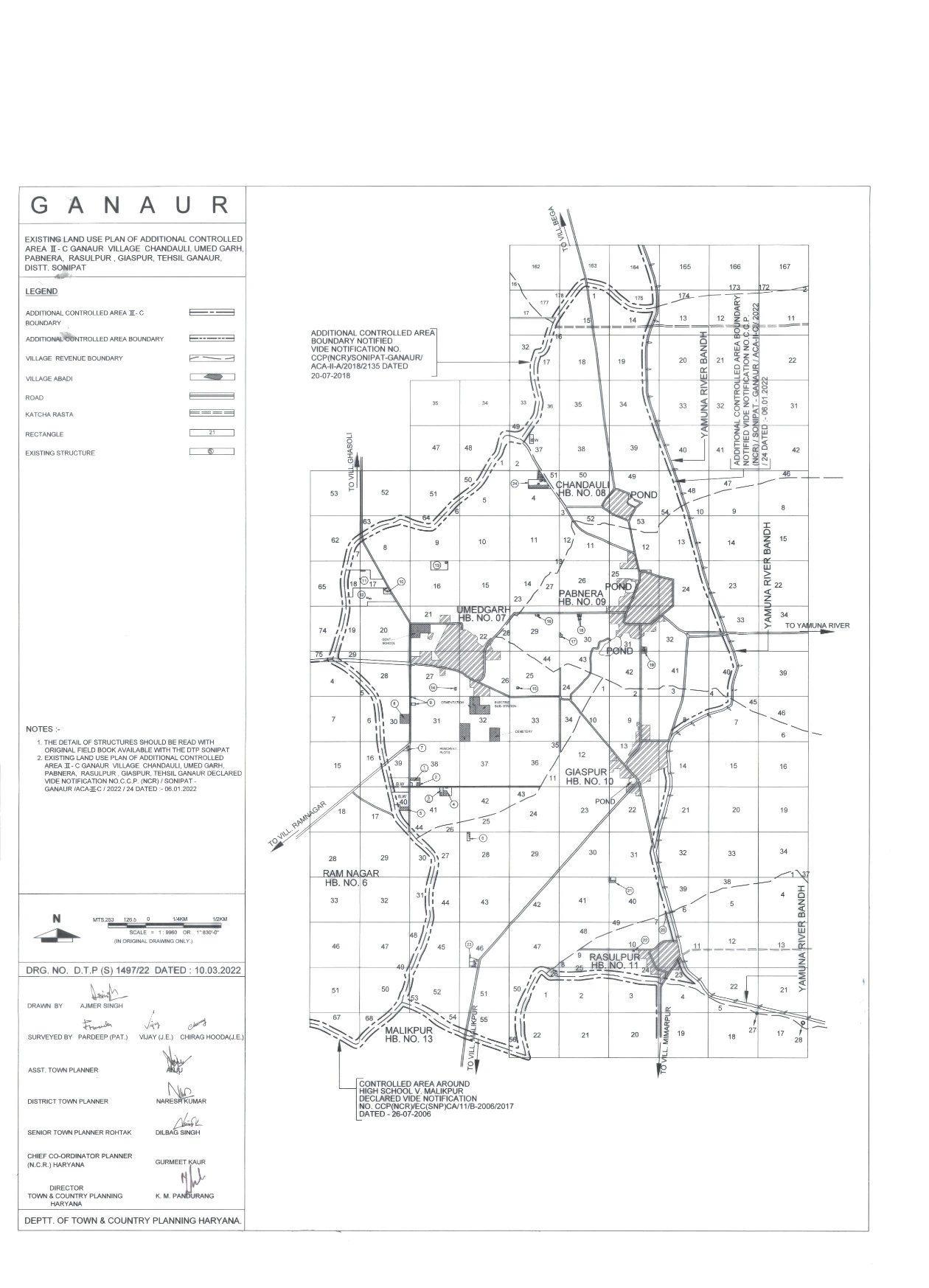
The Ganaur Existing Land Use Plan for Additional Controlled Area II-C has been strategically designed to ensure planned urban development while maintaining environmental sustainability. Covering the villages of Chandauli, Umed Garh, Pabnera, Rasulpur, and Giaspur in Tehsil Ganaur, District Sonipat, the plan aims to regulate land use and promote systematic growth in residential, commercial, industrial, and public infrastructure sectors.