Ganaur II-B Existing Land Use Plan 2041 Sonipat PDF Map
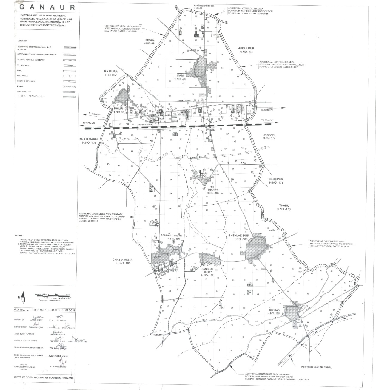
The Existing Land Use Plan for Ganaur II-B outlines the designated land utilization for the additional controlled area, covering the villages of Kami Bhuri, Tharia, Sandal Kalan, Sandal Khurd, Shehjad Pur, and Kilorad in Sonipat District. This plan aims to ensure structured and sustainable urban development, balancing residential, commercial, industrial, and agricultural zones while preserving ecological integrity.